A GIS or GIS (for its acronym in English) is an organized integration of hardware, software and geographic data in order to capture, store, manipulate, analyze and visualize in all its forms the spatially referenced information that allow characterizing the geographic space to their study or management.
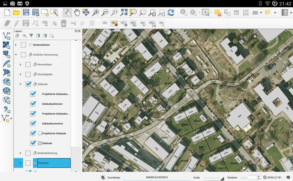
GIS are highly complex tools, they have a geographic database that allows the information contained to be separated into layers, thus making interpretation easier and faster. In addition, GIS are very flexible depending on their application, allowing users to create interactive queries, analyze spatial information, edit data, maps and present the results of all these operations, in this way their application is present in cartography, planning urban, environmental impact assessment, archeology, and numerous scientific investigations.
There are numerous GIS available today. The free community has been very involved in the development of software for open source geographic information systems. This is where one of the most powerful free software tools comes in: QGIS.
QGIS (previously Quantum GIS) is a software GIS of free code, under license GNU GPL, developed by Open Source Geospatial Foundation (OSGeo) On C++, which allows the visualization, editing and analysis of geographic data.
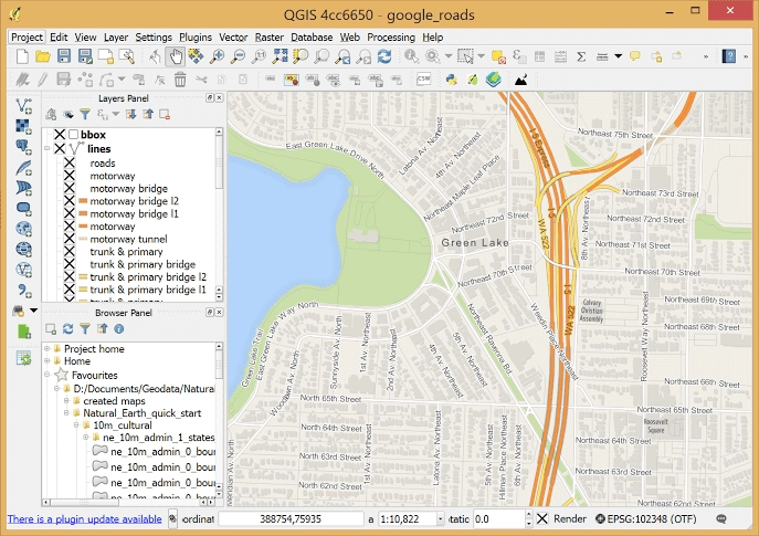
Like the other existing GIS, QGIS allows the creation of maps with numerous layers that can be assembled under different formats, depending on the application. But the real features that make QGIS a powerful tool are:
- Support for the SpatiaLite, ORACLE Spatial and PostGIS spatial extension, which adds support for geographic objects in a database, turning it into a spatial database.
- It allows the creation of maps through raster layers (cells) or vector layers (lines and polygons), supporting numerous formats, Shapefile, ArcInfo, MapInfo, GRASS GIS, GeoTIFF, TIFF, JPG, etc.
- It can work under any operating system, GNU / Linux, BSD, Unix, Mac OSX and Windows
One of the most amazing features of QGIS is its ability to adapt to the user. With the extensible plug-in architecture and the libraries it has, it is possible to create plug-ins focused on the needs of each project, allowing you to create layers with really interesting information on each map. It is even possible to create new applications under C ++ and Python code.


QGIS has a mobile version developed for the Android operating system, a version optimized for the touch input of the equipment. It also allows to use the Geolocation of the mobile device to use the GIS in the current position of the user.
Currently, QGIS has reached version 2.12, and has a large community of contributors who work on constant updates and bug fixes in the GIS.
It is very good, I use it to make simple plans, and you can install it from the repositories for debian, ubuntu, fedora, red hat.
In debian stable there is version 2.4 or 2.04, and you can install it on arch systems from aur.